Last Updated on November 2, 2025 by Kevin Collier
Top Takeaways and Key Concepts
- Identify your location on the map first using the “You Are Here” marker.
- Use a compass to orient yourself by aligning its needle with north.
- Note landmarks and contour lines to track elevation and navigate terrain safely.
- Plan your route in advance, considering distance, terrain, and weather conditions.
- Practice navigation outdoors on familiar trails, gradually increasing difficulty and variety.
Imagine being in the woods and hearing nothing. The trees are huge, the birds are singing, and everything seems new. But then you pull out your map. With all the squiggly lines and weird symbols, you think of it as a secret code. You suddenly think of high school geography and wonder if you should have paid more attention.
Don't worry! Finding your way through the woods isn't as scary as it appears. Let's talk about some easy ways to get around without bumping into bears.
Please Note: This post may contain affiliate links. If you click one of them, we may receive a commission at no extra cost to you. As an Amazon Associate, I earn from qualifying purchases.
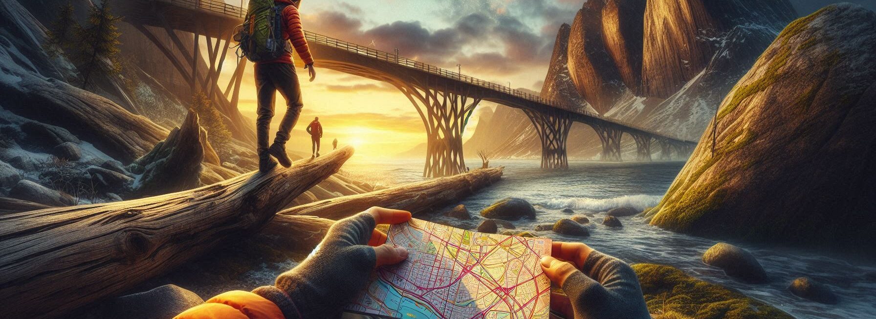
Get to know the basics first. Most of the time, the map you have in your hand has a “You Are Here” mark on it. It's like a treasure map that helps you find your path. Take a moment to discover that place. The rest is easier once you know where you are.
Let's talk about the compass now. That's your pal if you have one! The needle always points in the direction of north. Check your map to find out where north is. It helps you figure out where everything else is. It seems like magic, but it's really simply science.
Take your time as you walk. Keep your eyes open! Nature is pretty. You might notice a gorgeous flower or a cute squirrel. But likewise, keep an eye on the path. Find things that stand out, such a big rock or a strange tree. If you become lost, they can help you find your way back.
It's alright to feel lost. Take a break and breathe. Think for a second. You might want to go back a little. It's like going back in a video game. Going back to where you started might sometimes help you find yourself.
And hey! Don't be shy if you run into other hikers. Get help or directions. Most individuals are nice and willing to help. Just picture that you are all members of a little wilderness club.
It can be scary to be out there, but you can do it. You'll feel like a pro in no time if you practice and are patient. Enjoy the trip and remember that it's all about the adventure!
Contents of This Page
*** Shop for Survival Gear - Tools - Kits ***
Survival Gear - Bags and Backpacks - Knives - Boots/Footwear - Communication
Outdoor Cooking - Gloves - Hydration - Dry Boxes - Water Filtration Systems
Tents - Sleeping Bags - First Aid Kits - Multi-Tools - Flashlights - Fire Starters
Navigation - Survival Food - Night Vision - Headlamps - Stun Guns - Binoculars
1. Understanding the Basics: Maps and Compasses
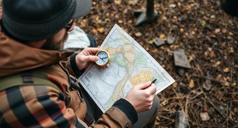
First things first—let's talk about maps and compasses because they are basically your best friends in the wilderness.
Think of a map as a treasure map but instead of finding gold doubloons, you’re trying to find your way back to civilization (or at least back to camp before dinner).
Maps come in all shapes and sizes, but for our purposes, you'll want one that shows contour lines and landmarks. Contour lines are those wavy lines that look like something you'd doodle during a boring meeting; they indicate elevation changes.
If you see a lot of closely spaced lines, congratulations—you’ve found a hill! Now try not to climb it unless you’re prepared for an impromptu cardio workout.
Now onto the compass—your trusty sidekick. It points north, which is great because when you get lost (and let’s be honest, we all do sometimes), having a direction can save you from wandering aimlessly like a lost puppy.
To use it effectively, hold it level with the ground while turning your body until the needle aligns with the north marking on the compass face. Voila! You now know which way is up—or at least north.
2. Reading Your Map Like A Pro
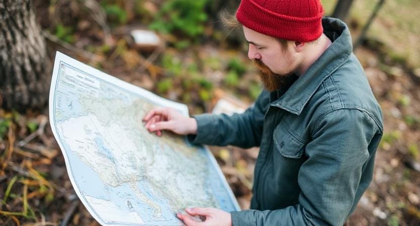
So, you've got your map and compass ready—now what? It's time to learn how to read that map without feeling like you're deciphering an alien language. Start by familiarizing yourself with key features such as roads, rivers, trails, and symbols.
Here’s where it gets fun: orient your map so that it matches what you see around you. This means turning your map until north on the map points toward true north in reality—like aligning two pieces of IKEA furniture instructions (only less frustrating).
Once aligned, identify recognizable landmarks around you; if there's a giant rock shaped like Elvis Presley nearby (because why wouldn’t there be?), use it as a reference point.
And speaking of reference points—always note where you've been! If you're hiking along a trail and suddenly feel like you're going in circles (again), retrace your steps using those landmarks on your map—it’s much easier than panicking and calling for help!
3. The Magic of Contours: Elevation Changes

Alright folks, let’s dive deeper into contour lines because they can make or break your outdoor adventure—and I’m not just talking about avoiding steep cliffs here!
Understanding these lines helps determine whether you're climbing Everest or strolling through flat terrain.
When contour lines are close together on your map, brace yourself for some serious uphill action ahead; wide spaces mean gentler slopes—or maybe even flat ground where you can take an awesome nap without rolling down any hills!
Also worth noting is how these lines form closed loops; if they go upward toward each loop—that's called “peak” territory—and if they go downward… well my friend, welcome to “valley” land!
By keeping an eye on these contours while navigating through different terrains—you’ll avoid surprises like discovering halfway up a mountain that there’s no picnic area waiting for lunch.
4. Setting Your Course: Planning Ahead
Now that you know how to read maps and comprehend contours, let's go on to planning your path ahead of time, like getting ready to fight Mother Nature herself!
Before you head out into the unknown with only snacks (which is necessary), take a few minutes to plan your route based on the trails that are marked on your trusty paper buddy.
Take into account things like the distance between points, which might change a lot depending on the terrain, and the projected travel durations dependent on how fast you want to go (don't forget to take snack breaks!).
It's also a good idea to think about safety by checking the weather ahead of time. Nothing ruins plans faster than rain or snow when all you have are flip-flops!
And don't forget that even the best-laid plans can go wrong! Being flexible is important here; occasionally taking a different route can lead us to amazing views or secret fishing areas we didn't know were there!
5. Go Outside To Practice Your Skills!
The best method to become a great navigator is to learn Practice makes things perfect! And believe me, it doesn't have to be dull either! Get some pals who also like getting lost outside (you know who they are) and go on day hikes or weekend camping trips with lots of maps and compasses!
Begin with routes you know well, then as you gain confidence, move on to more difficult ones that take you through a variety of terrains. Before you know it, you'll feel like a seasoned explorer ready for anything nature throws at you!
Also, think about joining a local orienteering club. They have great events where people race against each other utilizing navigation abilities while exploring new places together. It's way better than watching reruns!
Frequently Asked Questions
Why is identifying your position on the map first important?
Knowing your starting point helps you orient the map accurately and begin navigation with clarity and confidence.
How does a compass help with orienteering?
A compass points to north, allowing you to align your map with real-world direction so you can choose correct bearings.
What role do landmarks play in navigation?
Landmarks help verify your route progress and offer visual reference points for confirming you are moving in the correct direction.
Why should contour lines be studied before heading out?
Contour lines show terrain shape and elevation changes, helping you avoid steep climbs or unsafe slopes.
What should be considered when planning a route in advance?
Distance, weather, terrain difficulty, and available daylight are key factors to assess when mapping out your path.
How can you improve orienteering skills?
Practice navigation on familiar trails and gradually increase challenge levels to build confidence.
Is it normal to get confused while navigating outdoors?
Feeling uncertain is common, so pausing, reassessing, and backtracking to known points can safely re-establish orientation.
Suggested Resources:
Orienteering USA
https://www.orienteeringusa.org
American Hiking Society
https://americanhiking.org
National Park Service – Navigation Tips
https://www.nps.gov/articles/navigation-tips.htm
Outdoor Life – How to Read a Topographic Map
https://www.outdoorlife.com/story/skills/how-to-read-topographic-map/

Kevin Collier is a seasoned survivalist and expert in prepping and homesteading, contributing to WiseSurvive.com. With a deep-rooted passion for self-sufficiency and outdoor survival skills, Kevin shares practical advice, strategies, and resources to help individuals prepare for any challenge. His informative articles cover a range of topics, from essential survival techniques to sustainable living practices, empowering readers to thrive in any situation. Whether you're a novice or a seasoned prepper, Kevin's insights will inspire you to take charge of your readiness and build resilience for the future.


